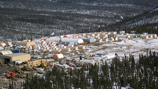
Vegetation & Wetland Assessment
Owl Ridge wetland scientists utilize both the latest satellite-imagery, GIS technology, UAV photography and on-the-ground mapping of vegetation communities and wildlife habitat to develop databases and products specific to client needs. Our wetland scientists conduct wetland delineations and rare plant surveys, with special emphasis on northern vegetation communities. They understand the ever-changing regulations regarding wetlands and rare plants and provide up-to-date expertise and guidance for our clients’ projects.

