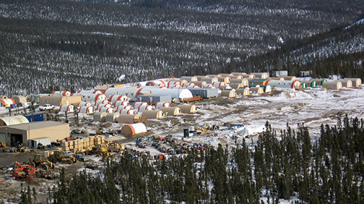
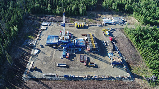
Unmanned Aerial Vehicle Support
 Owl Ridge provides unmanned aerial vehicle (UAV) support to a variety of disciplines using the latest in modern drone technology. Owl Ridge’s team of highly experienced remote pilots are certified under the FAA’s Certificated Remote Pilots including Commercial Operators process, and can safely, efficiently, and economically provide high resolution aerial imagery and video, georeferenced ortho-photography, and digital terrain mapping.
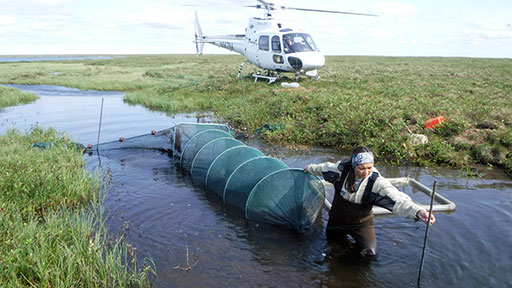
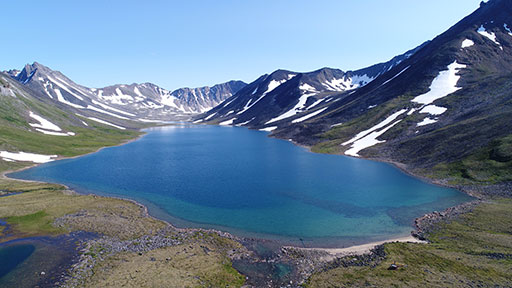
UAVs are rapidly deployed, cost effective, and versatile. UAV services can be performed on a stand-alone basis or to complement ongoing field studies. Owl Ridge uses UAVs to support anadromous fish surveys, stream and riparian habitat assessments, low altitude aerial images for site characterization and reclamation efforts, wetland surveys, terrain modeling, and asset inspections.